Saturday, January 13th 2013
Monterey, 50 miles south on Hwy 1,
cross the range, San Mateo
We actually had our alarm clock set, so
we would be out relatively early (J. is never happy about this). We
made it out pretty quickly, very similar morning to yesterday's one.
Drive to Fisherman's wharf (another must see tourist attraction). We
took wrong turn, but couple of turns and we were there. We took walk
on the wharf (just to remember that we were there those 5 years ago).
It was still nice, sun coming up and sea animals really close. Good
start of the day.


We left the town and got on Hwy 1.
Shortly after leaving Carmel behind us, we turned into Point Lobos
State Reserve. Paid 10 dollars, being asked where we were from
(Michigan). This lady was noticed (and asked) about my country. After
I said Czech, she pulled out the leaflet about the park in Czech
language. That was pretty funny. As well, her husband was originally
from Potasky, Michigan. Small world.

Short drive (the park was pretty small)
to the diving site. We did not know that, until we arrived on the
small parking lot and found about 15 cars with people changing into
diving gear. Fun. We drove to another parking lot, parked and walked
Cyprus trail. The views were unreal and so beautiful. The trail was
less then a mile. And flat, so it was so pleasant. Sun was up and
there were almost no clouds. Finally, the weather that we came here
for.


We had to come back to the parking lot
and I asked the ranger (volunteer) something. J. meanwhile came to
the lot too (she was goofing with camera) and we talked to the guy
for about ten minutes. We as well discovered, that we can borrow
(against car keys) binoculars. With those, we walked on Seal trail.
We actually dropped down to the ocean and could watch seals (or sea
lions) on two rocks. And ocean … being really pleasant and
graceful. We came back, bought some postcards and drove to the last
parking lot in the park.


We did not really change, but anyway,
our picture:

The last trail (for us, the park had
more trail) was China rock trail. Another nice walk with the views of
the coast (seeing south). It was so pretty, peaceful and relaxing,
that we did not want to leave, but we had about 50 miles of coast to
drive along. And at the end, about 3.5 hours of drive to home.


Really nice road winding along the
ocean (sometimes passing along few houses), sometimes we lost the
sight of water, sometimes, we were really close. Another place for
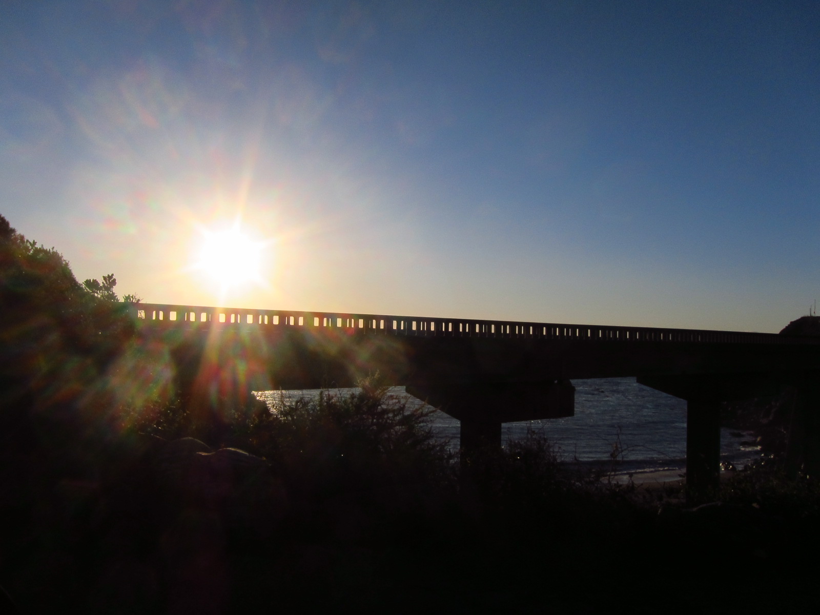
pictures was Bixby bridge. In that case, I was not sure about the
appeal of it. But who knows? It was still nice.


And driving … we stopped many times
and just looked down and around. It was amazingly beautiful. There
were some cars and people doing the same as we did, but it was not
too bad. In the park, when we were talking to the ranger, he said
that summer is pretty ugly (cold and foggy). Funny.


Big Sur. There were some buildings,
general store and some restaurants. It was kind of goofy place. We
stopped, J. went into one artsy hippy store and then got coffee. We
got a map as well, but it was not much helpful. We as well drove into
Big Sur State Park, just to discover, that majestic entrance was kind
of deceiving. The park had some trail, but they were too long for us,
so we just drove to the end, saw big redwood “Colonial tree” (we
had hard time to find it) and got back on main road. Kind of
disappointing.


There was supposed to be hidden gem,
Pfeiffer beach. We found unmarked road (really narrow) and drove two
miles to the beach. It was interesting drive, dark, forest and so
narrow. At the end (after driving through the river) we found out,
that Forest Service rents the site out and we had to pay five dollars
(really?). We did and walked on the beach. It would be nice place for
brunch or something like that, but did not have much appeal for us.


Next one was Julia Pfeiffer State Park
with the waterfall. I thought that we would be able to walk to the
beach and see it up close. We walked, saw the fall from the overlook,
but there was no way down. Another disappointment. We made some
sandwiches and eat there. The coast was still beautiful, but last few
sites were kind of mediocre. Too bad.


The day was really flying by. We were
getting pretty close to the end of our coast drive. The last thing,
that I found was newer state park called Limekiln. Apparently former
industrial site transformed into the park. After almost missing some
things, we were looking for clues and still enjoying the ocean, the
views and the beauty of it.


Finally we found it. It was small road
sign and tiny road down almost below the bridge. So easy to miss. We
used our Point Lobos ticket ( you pay once in a day for state parks),
the ranger gave us a map, told us they would close at five and that
Waterfall trail has some nice bridges. Great.

We parked (there was space for maybe 12
cars) and walked through the campground (about 4 tents there). It was
really pleasant site (forest and creek). The trail was pretty nice
and we were hoping for better site then the ones before. There was a
group with older people and child and as well a couple of our age.
Two of us came to the intersection and wanted to follow the sign for
the falls. We had one problem, there was no bridge to cross the
creek. Finally we found a board (about 10 inches wide). After that,
we had to cross the creek three times, and there was no board. We
found some rocks or logs or big branches used as a crossing. Really
funny, how the ranger was sarcastic. Yet, it was really great. And
the fall at the end was beautiful. In few minutes, we were disturbed
by bunch of hippies.


They call this a bridge:

The next trail let to the kiln area. It
was pretty short (good for us, as we were running out of time) and
flat. I could not imagine, where we are going to find those kilns or
even how it is going to look like. In few moments, I had my answer.
It is incredible to see, what nature will do with industrial site
over time. Great.


Quick walk back, J. was taking some
pictures and staying behind. We got back to the car and left. We had
few miles on Hwy 1, and were looking for the road to cross the hills.
In those few miles, we saw a road, it was tiny and narrow and we
almost missed it. We were thinking for a second, as we were not sure
about it. At the end, there was not supposed to be any other road for
tens and tens of miles, so we did not really have choice. We said
good bey to ocean.

The road … was just awesome. It was
like out terrible mountain roads. Narrow, twisty and next to the
steep cliff. I do not like those roads. I was saying that I will pee
my pants (I did not). It was just great, turn and turn and turn. And
up, up, up, up … and up.


We had some doubts about the road, but
did not have any choice. So we kept driving and tried to enjoy it.
Well, J. did, she was making fun of me (as I was not really
comfortable). Finally, we were on the top and started driving down.
It was really nice (first the views of ocean), then the forest around
us. Unfortunately, it was getting darker and I just wanted to be on
freeway (101). The road got better and we had some fun, when we got
to the gate to the army area. It was cover construction over the
road, sign and much better road. Well, we drove, the speed limit
increased and we were moving along. It was interesting (very empty)
country. J. was not comfortable with us driving on army land.
Finally, we hit double gate (and left the army land). The road got
worse. The intersection and about 18 miles to the freeway. It became
dark. And … about two hours on the freeway heading home.

It was pretty fine drive, there was not
much along the road. J. was falling asleep, so I just kept driving.
Conclusion: it was great amazing trip.
